Philippine Defense Today (Adroth.ph)
In Defense of the Republic of the PhilippinesDaunting PH coastline
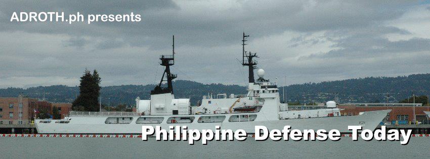
Monday , 9, May 2011 Coast Watch Philippines, External defense, Philippine Navy Leave a commentThere is no clearer illustration of the staggering capability shortcomings of the Armed Forces of the Philippines than a juxtaposition of the Philippine Navy’s theme for 2010: “Naval dominance for 7,107 islands” with its actual capabilities. On paper, a little over 70 boats of various sizes give the Philippine Fleet its maritime patrol capability. However only a fraction of these are actually operational at any given time. Most are relatively small, low-endurance boats. While its larger patrol assets are among the oldest active duty ships in the world, dating back to World War II.
Problems with the availability of hulls-in-the-water are further exacerbated by the impact of currency and market demand upon the price of fuel oil. In 2006, for example, then Naval Forces Eastern Mindanao commanding officer Commodore Ferdinand Golez (who later became Flag Officer in Command of the Philippine Navy) reported that it had to curtail operations due to a hike in operational cost (see Timawa discussion here). While the specter of malversation is ever present, the rigidity of government budgets is indesputable. Less available fuel means fewer / shorter patrols for the precious few ships that are available in the first place.
While a program of re-capitalizing the fleet, and adding . . . comparatively newer . . . and more capable platforms is underway, full situational awareness throughout Philippine territorial waters and its Exclusive Economic Zone (EEZ) can never be fully achieved with floating assets alone. A radar-based Vessel Tracking System (VTS) of some sort was required to monitor key areas, and then be able to vector whatever limited assets were available to the point of need. Such a system would permit smarter use of limited resources.
To this end, the Philippine Navy has been working for the past 5 years, and will continue for years to come, to build sensor-equipped “Coast Watch” stations at strategic locations throughout the archipelago. A PN press release on the project, dated 2006, describes that program as follows:
. . . provides the Philippine Navy a framework for an inter-agency surveillance and response mechanism for addressing transnational crimes, maritime terrorism and environmental concerns . . . It also offers a framework for developing international cooperation by strengthening established bilateral and regional agreements.
The 2006 AFP modernization report describes the program as follows:
Coast Watch South. Coast Watch South envisions the strategic and near-term development of a comprehensive maritime surveillance and response capability in the Southern Philippines. At present, governance of Philippine maritime domain is being performed by at least 12 departments, 18 line agencies and attached bureaus, five (5) statutory bodies and four (4) other agencies and bodies created for a specific maritime-related concern. While the legal mandates are scattered in various agencies, real capability for surveillance and response reside principally with the PN.
Additional capabilities, albeit limited, also reside in the Philippine Coast Guard (PCG), Bureau of Fisheries and Aquatic Resources (BFAR) and the Philippine NationalPolice Maritime Group (PNP MARIG). Coast Watch South integrates all currently available maritime surveillance and response capabilities of the major maritime agencies of the Philippines under one operational construct consisting of integrated layers of maritime surveillance capabilities from the coasts towards the outer limits of maritime jurisdictions in Southern Philippines. Coast Watch South is viewed as a template for the development of a national inter-agency maritime surveillance and response mechanism.
The first phase of the program, described above as Coast Watch South, was aimed at securing the country’s porous southern borders along Sulu and Palawan. It also formed the Philippine response to a regional initiative to improve maritime awareness in the pirate infested waters between the Philippines, Indonesia, and Malaysia. The two latter countries actually have their own north-facing equivalents to the Philippine system (Timawa discussion here).
In January 28, 2011, the program reached an important milestone in achieving its inter-agency coordination mandate when the Philippine Navy inaugurated the Maritime Research Information Center (MRIC) inter-agency website for the National Coast Watch System (See here). This facility, whose details have thus far not been shown to the public, reportedly will give other government agencies with maritime concerns comparable, if not identical, information about conditions in Philippine waters.
Based on published reports, the information generated by the system are derived from — but not necessarily limited to — radar, visual, and Automatic Identification System (AIS) data. Statistics released by the navy, the Coast Watch system tracked 29,429 vessels in 2010.
Published news reports indicate that as many as 17 stations are due for completion as part of the Coast Watch South program. Specific locations, and even the appearance, of these stations are not discussed openly, however the 2006 report provides the following insight into where they will initially be deployed:
Existing and future land-based surveillance sensors established in strategic locations along the coasts of Mindanao Island and the Sulu Archipelago shall comprise the backbone of the maritime surveillance system of Coast Watch South. These will be complemented by current surface and air assets of the PN, PCG, PNP MARIG and BFAR. These assets shall be deployed in designated sea routes and patrol areasidentified on the basis of volume of maritime traffic, among other considerations.
Please give us your valuable comment
You must be logged in to post a comment.